Target Audience: Infrastructure planners, energy suppliers, planning offices, project developers
How are leading infrastructure companies digitising their field survey processes — and why isn't traditional GIS enough? Our MoversSurvey whitepaper has the answers.
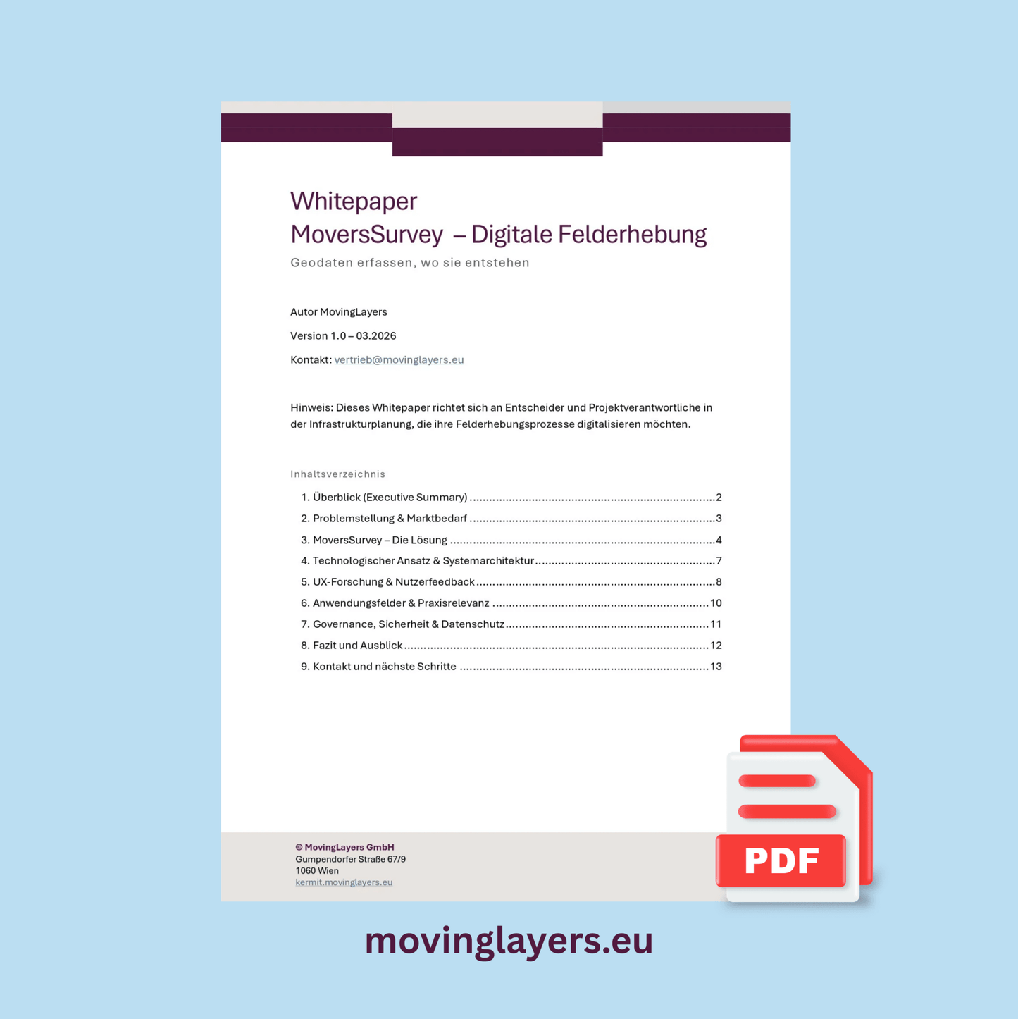
This whitepaper shows how mobile GIS-based field data capture fundamentally changes data collection, assessment, and documentation in infrastructure projects — from the site walk-through to the authority-compliant export document.
Download the whitepaper free of charge and learn how to:
- fully digitise analogue field processes
- make geodata available on the same day as the site visit
- significantly reduce documentation effort and post-processing time
The turning point in field documentation
Rising regulatory requirements, fragmented data collection processes, and a structural shortage of skilled workers are putting organisations in the energy and infrastructure sector under increasing pressure.
At the same time, the complexity of field surveys is growing: route planning, area assessments, permitting documentation — all of this still largely runs on paper forms, Excel spreadsheets, and manual re-digitisation. Traditional desktop GIS solutions reach their limits here because they primarily support office-side analysis, not end-to-end field processes.
Mobile GIS field data capture as a strategic lever
A new generation of mobile survey platforms enables, for the first time, the end-to-end digitisation of complex field processes — offline-capable, georeferenced, and directly exportable.
The whitepaper shows how:
- geodata capture and structured documentation converge in the field
- questionnaires, photo documentation, and map annotation run in a single workflow
- results are delivered in a reproducible, audit-proof, and authority-ready way
The focus is on the transition from isolated tools to seamless, field-driven data processes.
Whitepaper contents
- Problem statement & market demand in overhead line construction and grid expansion
- MoversSurvey – solution approach and system architecture
- UX research & user feedback (UEQ-S, interviews)
- Application areas and practical scenarios
- Governance, data protection & GDPR compliance
- Roadmap 2026–2027: four development phases
Your concrete added value
After reading, you will understand how mobile GIS field data capture supports your organisation in achieving the following goals:
- transferring field data directly into GIS systems without media breaks
- standardising survey processes and scaling them across multiple teams
- permanently eliminating dependencies on manual re-digitisation
- building permitting documentation in a structured, auditable way
Who is this whitepaper for?
This whitepaper is aimed specifically at:
- project leads in energy and infrastructure companies
- managers responsible for grid expansion, routing, and permitting
- GIS, surveying, and digitisation experts
- strategic decision-makers in grid operation and infrastructure planning
Download the whitepaper free of charge
Register now and get direct access to well-founded insights into the next generation of field data capture for infrastructure projects.
Ready to get started instead of just reading?
MoversSurvey can now be licensed directly in our shop: the Field Licence with monthly billing (€89.90/month) includes full functionality and map data for one federal state of your choice — cancel monthly, expandable at any time via map packages and map updates.
Where MoversSurvey sits in the geodata cycle
This white paper explores phase 1 of the geodata lifecycle, capture via site visit. The tool for it is MoversSurvey; matching examples are in our use cases for capture.