Skip to product information
1 of 1

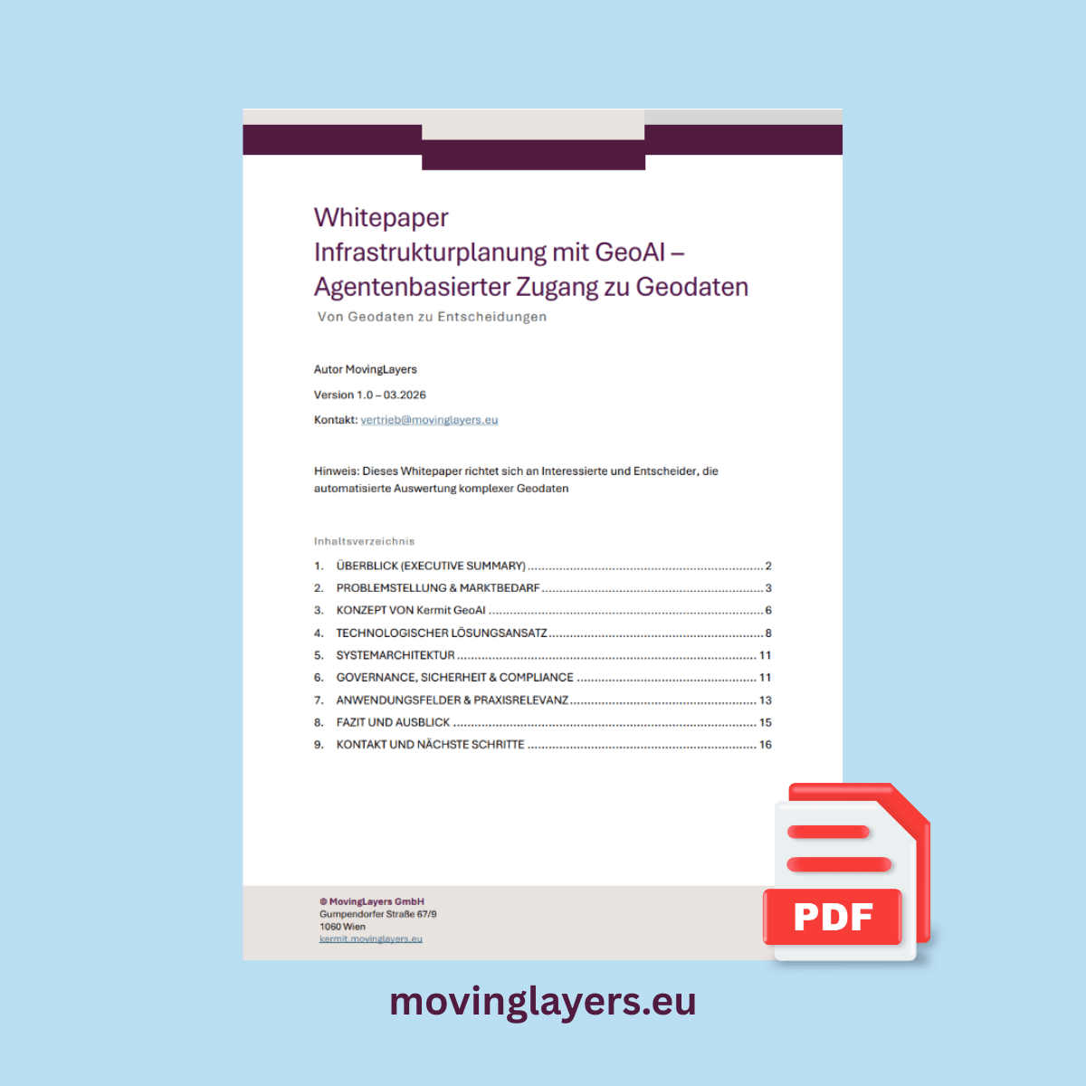
Whitepaper GeoAI & BIM-GIS Integration in Infrastructure Planning | MovingLayers 2026

Whitepaper GeoAI & BIM-GIS Integration in Infrastructure Planning | MovingLayers 2026

Target Audience: Infrastructure planners, energy suppliers, planning offices, project developers

  • Practice-oriented
  • 16 pages
  • Applications

How do leading infrastructure companies make better decisions despite growing complexity and talent shortages? Our GeoAI whitepaper provides the answers.

This whitepaper shows how agent-based GeoAI systems fundamentally transform the planning, analysis and assessment of infrastructure projects — from data integration to decision-making.

Download the whitepaper for free and discover how to:

  • automate complex geodata processes
  • significantly reduce planning timelines
  • improve decision quality and traceability

The turning point in infrastructure planning

Rising regulatory requirements, fragmented data landscapes and a structural talent shortage are putting increasing pressure on organisations in the energy and infrastructure sector.

At the same time, the complexity of spatial decision-making is growing — from route planning to site assessment. Traditional GIS approaches reach their limits here, as they primarily support isolated analyses rather than end-to-end decision processes.

BIM, GIS and operator knowledge — on a shared data foundation

Infrastructure projects bring together four data worlds: BIM coordinators work in IFC models, GIS analysts with geodata and layers, network operators in CAFM systems, and authorities with regulatory distances and approval documents. MoversGeoAI bridges these worlds — built on a shared data model and open standards (QGIS, PostGIS, WFS/WMS).

Agent-based GeoAI as a strategic lever

A new generation of systems enables for the first time the end-to-end automation of complex analysis processes.

The whitepaper shows how:

  • geodata sources are integrated intelligently
  • multi-stage analyses are orchestrated automatically
  • results are delivered reproducibly and auditably

The focus is on the transition from tools to executing, process-driven systems.

Whitepaper contents

  • Market and technology trends in GeoAI
  • Challenges in infrastructure planning
  • Architecture and functionality of agent-based systems
  • Governance, compliance and data sovereignty
  • Concrete real-world use cases

Your concrete value

After reading, you will understand how agentic GeoAI supports your organisation in:

  • strategically redefining data-driven decision processes
  • standardising and scaling analysis workflows
  • reducing dependency on scarce GIS resources
  • meeting regulatory requirements in a structured way

Who is this whitepaper for?

  • Executives in energy and infrastructure companies
  • Managers responsible for planning, network expansion and approval
  • GIS, data and digitalisation experts
  • Strategic decision-makers in the public and private sector

Download the whitepaper for free
Register now and get direct access to in-depth insights into the next generation of infrastructure planning.

Further reading

Where MoversGeoAI sits in the geodata cycle

This whitepaper explores phase 3 of the geodata lifecycle, understanding and deciding. MoversGeoAI adds an analysis layer to your existing GIS; its foundation is cleanly captured and well-prepared geodata from phases 1 and 2. Matching examples are in our use cases for decisions.

View full details